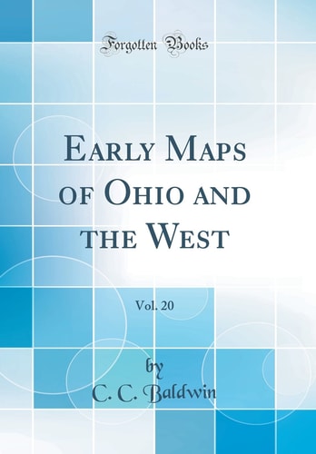
Early Maps of Ohio and the West
0
0
As an Amazon Associate and affiliate partner, Menrva Books earns from qualifying purchases. Learn more
Author Description
Author description coming soon. We're reaching out to them in the ether...
Menrva's Summary
THE THESIS
The book examines the historical cartography of Ohio and the Western territories of the United States. It likely details the evolution of mapmaking in these regions, tracing the work of early surveyors and cartographers. The content would focus on the challenges and discoveries that shaped these maps, reflecting the expansion and understanding of the American frontier.
THE SCOPE MAP
- Early cartographic methods and tools used in Ohio and the West.
- Key cartographers and their contributions to mapping the region.
- Thematic maps illustrating exploration, settlement, and territorial claims.
- Analysis of map accuracy and the depiction of geographical features.
- The role of maps in westward expansion and territorial disputes.
- Comparison of different map editions and their historical context.
- The influence of political and economic factors on map creation.
THE AUTHORITY PERSPECTIVE
This work is likely regarded as a foundational text for historians and geographers interested in the cartographic development of Ohio and the American West. Its 1875 publication date suggests it draws upon primary sources and early scholarship, offering a historical perspective on the mapping of these regions. The book's focus on early maps indicates its value for understanding the visual representation of the frontier during a critical period of American expansion. It would appeal to specialists in historical geography, cartography, and regional history.
Page Count:
16
Publication Date:
1875-01-01
Publisher:
s.n.
ISBN-10:
0665272359
ISBN-13:
9780665272356
History
Non-Fiction
Ohio History
Cartography
Community Tags
Similar Books