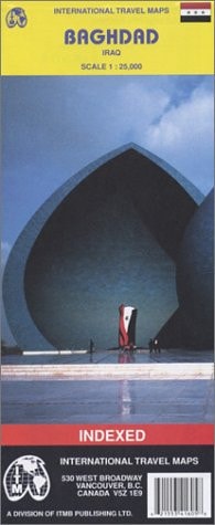
Baghdad 1:10,000 / 25,000 Street Map
0
0
As an Amazon Associate and affiliate partner, Menrva Books earns from qualifying purchases. Learn more
Author Description
1:10,000 scale (centre)/1:25,000(urban area) 1st Edition, double-sided. This is a very good map of a city undergoing tragedy. The map was prepared as the invasion began and, in spite of years of violence, most of the map is still fairly accurate. It is too dangerous to send somebody into Baghdad to update the artwork. We apologize for any changes or shortfalls in this map, which we believe to be reasonably accurate. The old souk is very interesting, and the regional map is unique. Map size:27"X39"
Menrva's Summary
THE THESIS
This map details the urban landscape of Baghdad at two distinct scales, reflecting its state during a period of significant geopolitical upheaval. Prepared as a major invasion commenced, this map attempts to provide a functional representation of Baghdad's layout despite the inherent dangers and disruptions of conflict. The cartographic data, while acknowledging potential inaccuracies due to ongoing violence, aims to capture the city's essential features, including notable areas like the old souk, with a unique regional overview.
THE SCOPE MAP
- Detailed street map of Baghdad at a 1:10,000 scale for the city center.
- Urban area map of Baghdad at a 1:25,000 scale.
- Double-sided map format.
- Regional map providing unique geographical context.
- Inclusion of historical and notable areas such as the old souk.
- Cartographic data prepared during the onset of a major conflict.
THE AUTHORITY PERSPECTIVE
This map is presented as a valuable, albeit potentially dated, cartographic resource for understanding Baghdad's geography during a critical historical period. The publisher acknowledges the challenges in maintaining accuracy due to the ongoing conflict, emphasizing the map's utility despite these limitations. The inclusion of specific points of interest like the old souk and a unique regional map suggests a focus on providing practical and contextual information for users navigating or studying the city.
Page Count:
2
Publication Date:
2005-01-31
Publisher:
ITMB Publishing, Ltd.
ISBN-10:
1553416058
ISBN-13:
9781553416050
Non-Fiction
Travel
Reference
Middle East
Community Tags
Similar Books