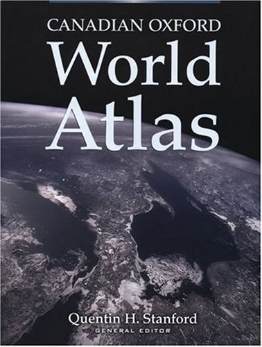
Atlas of the Prairie Provinces
0
0
As an Amazon Associate and affiliate partner, Menrva Books earns from qualifying purchases. Learn more
Author Description
Editor, Thomas R. Weir. Cartographer, Geoffrey Matthews. Limited Ed. Of 500 Copies.
Menrva's Summary
THE THESIS
This volume investigates the geographical, economic, and social landscape of the Canadian Prairie Provinces through comprehensive cartographic representation. Editor Thomas R. Weir, alongside cartographer Geoffrey Matthews, compiles a specialized collection of maps and analytical data to document the regional characteristics of Manitoba, Saskatchewan, and Alberta. The work serves as a foundational reference for understanding the spatial distribution of resources, population, and infrastructure within this specific Canadian territory.
THE SCOPE MAP
What You Will Find
- Detailed thematic maps covering physical geography and climate patterns
- Statistical data regarding agricultural output and resource extraction
- Demographic analysis of settlement patterns across the three provinces
- Historical cartographic documentation of regional development
THE AUTHORITY PERSPECTIVE
Experts recognize this atlas as a significant archival resource for regional geography and historical research. Scholars frequently cite the precision of the cartography and the depth of the data provided in this limited edition publication.
Page Count:
2
Publication Date:
1971-01-01
Publisher:
Oxford University Press
ISBN-10:
0195401786
ISBN-13:
9780195401783
Maps
Canada
Geography
Reference
Cartography
Community Tags
Similar Books