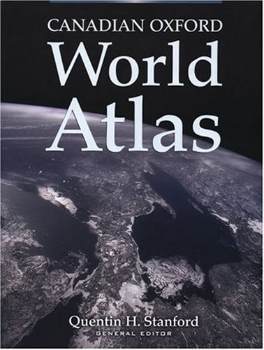
Canadian Oxford World Atlas
0
0
As an Amazon Associate and affiliate partner, Menrva Books earns from qualifying purchases. Learn more
Author Description
This new fifth edition of Canada's bestselling atlas is truly outstanding. Completely up-to-date, it features a new cleaner fou-colour design that improves readability, and results in greater accuracy and more vibrant maps. many of the standard maps that proved popular in earlier editions have been retained, and many exciting new maps have been added. New thematic maps include such topical subjects as cyberspace, travel and tourism, and world climatic hazards. In addition easy-to-read political maps have been added to introduce each continental section. With forty-seven pages of Canadian maps and ninety pages of maps covering regions other than Canada, and over thirty-five pages of statistical charts and graphs, the Canadian Oxford World Atlas is a comprehensive, yet affordable, choice. Of course, any changes to country names and boundries have been incorporated, and statistical material now reflects the most up-to-date data available from the 2001 Canadian census.
Menrva's Summary
THE THESIS
This atlas serves as a comprehensive, updated cartographic reference designed to provide accurate geographical and statistical data for both Canadian and global contexts. Author Quentin H. Stanford utilizes the latest census data and modern design principles to present a reliable tool for students, educators, and general readers. The work aims to bridge the gap between detailed regional mapping and broad thematic analysis through a structured, visual framework.
THE SCOPE MAP
What You Will Find
- Forty-seven pages of detailed Canadian maps and ninety pages of international regional maps.
- Thematic maps covering contemporary topics such as cyberspace, tourism, and climatic hazards.
- Thirty-five pages of statistical charts and graphs derived from the 2001 Canadian census.
- Updated political maps for each continental section to ensure current boundary accuracy.
THE AUTHORITY PERSPECTIVE
Experts and educators frequently cite this volume as a foundational reference tool for Canadian geography due to its balance of accessibility and data density. Readers often highlight the clarity of the four-color design as a significant improvement for readability in educational settings.
Page Count:
223
Publication Date:
2003-01-01
Publisher:
Oxford University Press
ISBN-10:
0195418972
ISBN-13:
9780195418972
Atlases
Reference
Canada
Cartography
Geography
Community Tags
Other Editions(3)

Similar Books


![The Remoter rural areas of Britain: [a symposium held at the University of Newcastle upon Tyne, 1970];](https://storage.googleapis.com/menrva_img_storage/covers/9780050024713.jpg)