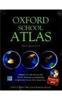
Oxford School Atlas
0
0
As an Amazon Associate and affiliate partner, Menrva Books earns from qualifying purchases. Learn more
Author Description
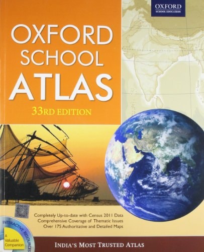
The Oxford School Atlas has been trusted by generations of students, researchers and general readers for its accuracy and depth of cartographic detail. This completely new 33rd edition of the atlas includes 178 clear and easy-to-understand maps with 81 thematic maps of India supported by charts and diagrams. The atlas contains detailed physical and political maps related to India, new and informative preliminary pages, and extensive coverage of core thematic issues such as climate, natural vegetation, wildlife, agriculture, minerals, industry, demography, environmental concerns, and natural hazards in a completely new design and layout. Provides the latest available demographic and socio-economic data culled from authoritative sources, such as the Census of India 2011, Central Statistical Organization, Planning Commission.PRB 2010, HDR 2010, FAO. UNSD, The World Bank, British Geological Survey, etc.Includes separate physical and political maps of India and the continents Reflects recent geo-political and socio-economic developments, and climatic and environmental concerns focussing on India and the worldProvides comprehensive coverage of the continents including thematic features of each continent, and regional maps of countries and regionsIncludes a new and informative section on 'World-Facts and Figures' comprising the latest information on each country including flags, World Statistics', 'World-Geographic Comparisons', and a 'World-Time Zones' mapIncludes reference topographical maps 45 D/7 and 45 D/10Contains a fully updated and revised indexThe Companion CD-ROM video clip on the history of cartography and types of mapsAnimations explaining important geographical conceptsSelect regional maps of countries and regions of the world53 urban area maps of India and important cities of the worldHistorical maps of India and the worldKey information on important international organizationsInteractive games and quizzesCensus 2011 statistics for each I
Menrva's Summary
THE THESIS
The Oxford School Atlas serves as a comprehensive cartographic reference designed to provide students and researchers with accurate, up-to-date spatial and socio-economic data regarding India and the global landscape. Oxford University Press utilizes a rigorous editorial process to synthesize information from authoritative international and national bodies, including the Census of India and the World Bank. The text functions as a structured pedagogical tool, organizing complex geographical, political, and environmental data into a standardized visual format for academic and general reference.
THE SCOPE MAP
What You Will Find
- 178 cartographic plates including 81 thematic maps focused on India.
- Detailed physical and political mapping of continents and individual nations.
- Statistical datasets covering climate, natural vegetation, agriculture, and demography.
- Reference topographical maps and a dedicated section on world facts, figures, and time zones.
THE AUTHORITY PERSPECTIVE
Experts and educators recognize this atlas as a foundational resource for geography students due to its consistent updates and reliance on official statistical sources. Readers frequently note the clarity of the layout and the utility of the thematic diagrams in simplifying complex socio-economic trends.
Page Count:
0
Publication Date:
2011-11-29
Publisher:
Oxford
ISBN-10:
0198073828
ISBN-13:
9780198073826
Geography
Education
Cartography
Subjects
Reference
Atlases