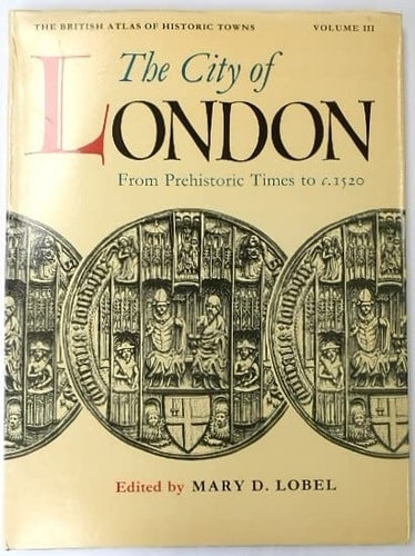
British Atlas of Historic Towns: Volume III: The City of London from Prehistoric Times to c. 1520
0
0
As an Amazon Associate and affiliate partner, Menrva Books earns from qualifying purchases. Learn more
Author Description
This large-format atlas provides ten full-color maps of the city of London from prehistoric times to the early 16th century, as well as full textual commentary and an index of place names. The book offers a unique view of the early development of a great capital city.
Menrva's Summary
THE THESIS
This volume investigates the topographical and structural evolution of London from its prehistoric origins through the early 16th century. Mary D. Lobel, a respected historian and editor, synthesizes archaeological data and historical records to document the physical transformation of the city. The work provides a rigorous framework for understanding how urban planning, trade, and defensive needs shaped the capital before the modern era.
THE SCOPE MAP
What You Will Find
- Ten full-color cartographic plates detailing London's urban layout across centuries.
- Comprehensive textual commentary analyzing the growth of infrastructure and civic districts.
- An extensive index of historical place names and landmarks.
- Chronological analysis of city development from prehistoric settlements to 1520.
THE AUTHORITY PERSPECTIVE
Scholars and historians frequently cite this work as a foundational reference for the study of medieval urban development. Readers often note the high level of academic detail and the precision of the cartographic evidence provided.
Page Count:
144
Publication Date:
1990-05-17
Publisher:
Oxford University Press
ISBN-10:
0198229798
ISBN-13:
9780198229797
History
Geography
London England
London
Cartography
Reference
Cities And Towns
Community Tags
Similar Books