The New Oxford School Atlas
0
0
As an Amazon Associate and affiliate partner, Menrva Books earns from qualifying purchases. Learn more
Author Description
Designed specifically for GCSE/SCE courses, this atlas has been revised and updated. It contains computer-generated topographical mapping of the British Isles, and comprehensive topographical coverage of world regions.
Menrva's Summary
THE THESIS
This atlas serves as a comprehensive cartographic reference tool designed to support students in GCSE and SCE geography curricula. Authors Patrick and Toni Schiavone Wiegand utilize updated topographical data to provide a structured visual framework for understanding physical and political geography. The text integrates modern mapping techniques to assist learners in interpreting spatial data across both regional and global scales.
THE SCOPE MAP
What You Will Find
- Computer-generated topographical mapping of the British Isles
- Comprehensive topographical coverage of global regions
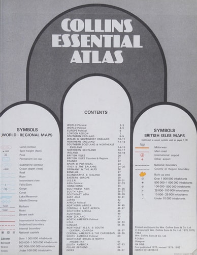
- Standardized cartographic symbols and map keys for educational use
- Updated geographical data aligned with secondary school curriculum requirements
THE AUTHORITY PERSPECTIVE
Educators frequently identify this volume as a standard reference for secondary school geography students due to its clear presentation of topographical data. Experts note that the inclusion of computer-generated maps provides a consistent visual language that aids in the study of regional landscapes.
Page Count:
168
Publication Date:
1990-02-15
Publisher:
Oxford University Press
ISBN-10:
019831650X
ISBN-13:
9780198316503
Atlases
Education
Reference
Schools & Teaching
Geography
Cartography