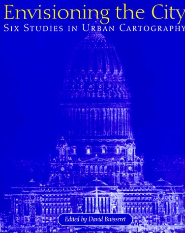
Envisioning the City
0
0
As an Amazon Associate and affiliate partner, Menrva Books earns from qualifying purchases. Learn more
Author Description
Churchman or merchant, soldier or sanitary engineer, everyone who lives in a city sees it differently. Envisioning the City explores how these points of urban view have been expressed in city plans from various times and places. Ranging from vertical plans to bird's-eye views, profiles, and three-dimensional models, these diverse maps all show cities "the way people want to see them.". Although city plans are among the oldest maps known, few books have been devoted to them. Historians of cartography and geography, architects, and urban planners will all enjoy this profusely illustrated volume.
Menrva's Summary
THE THESIS
The book investigates how diverse perspectives shape the representation of cities in historical urban plans. David Buisseret, a historian of cartography and geography, examines a wide array of city plans from different eras and locations. The volume explores how these maps, ranging from vertical and bird's-eye views to profiles and models, reflect the desires and intentions of those who created them, illustrating cities as they were envisioned rather than solely as they existed. It highlights the historical significance and varied artistic expressions found within cartographic representations of urban environments.
THE SCOPE MAP
- Exploration of city plans as historical documents expressing diverse urban viewpoints.
- Analysis of various cartographic representations: vertical plans, bird's-eye views, profiles, and three-dimensional models.
- Discussion of how city plans reflect the desires and intentions of their creators.
- Coverage of city plans from various times and places.
- Insights for historians of cartography and geography, architects, and urban planners.
- Profusely illustrated volume showcasing historical urban mapping.
THE AUTHORITY PERSPECTIVE
This volume is recognized as a valuable resource for specialists in urban planning, cartography, and architectural history, offering a unique perspective on how cities have been visually represented throughout history. The book's strength lies in its detailed examination of diverse map types and their underlying intentions. It is appreciated for its scholarly approach and rich illustration, providing a comprehensive look at the evolution of urban visualization.
Page Count:
181
Publication Date:
1998-01-01
ISBN-10:
0226079937
Art
Non-Fiction
History
Architecture
urban planning
Cartography
Community Tags
Similar Books