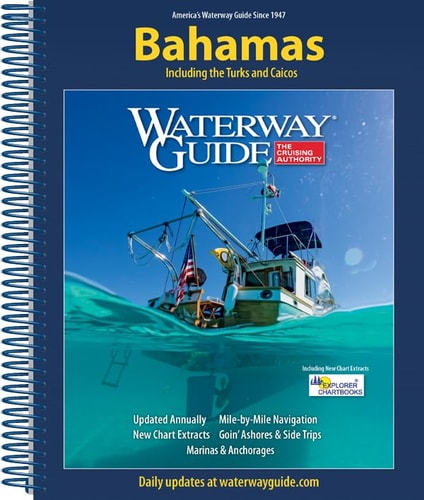
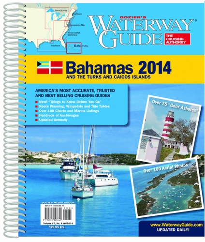
Waterway Guide the Bahamas 2025
0
0
As an Amazon Associate and affiliate partner, Menrva Books earns from qualifying purchases. Learn more
Author Description
Updated annually, the Waterway Guide Bahamas 2025 edition is the indispensable cruising companion for boaters exploring the Bahamas Islands and the Turks and Caicos Islands. The guide features mile-by-mile navigation information, aerial photography with marked routes, marina listings and locator charts, anchorage information and expanded Goin' Ashores articles on ports along the way. Helpful cruising data like GPS waypoints, detailed planning maps and distance tables help get boaters there safely. Heavy laminated covers with bookmarker flaps ensure durability and easy use in the cockpit and at the helm. Working with Waterway Guide Media, Explorer Chartbooks created a series of chartlets that offer situational awareness and complement navigation advice and associated information in Waterway Guide’s book. Each chart extract is labeled with a cross reference number to the master chart in the Explorer Chartbooks library. Trip planning and navigation in the Bahamas is now more reliable than ever using Waterway Guide’s book, Explorer Chartbooks’ charts, and the Aqua Map mobile app with Explorer ENCs and Waterway Guide data embedded.
Menrva's Summary
THE THESIS
This guide provides essential navigation and cruising information for boaters exploring the Bahamas and Turks and Caicos Islands. It details mile-by-mile navigation, aerial photography with marked routes, marina listings, anchorage information, and expanded Goin' Ashores articles. The data includes GPS waypoints, planning maps, and distance tables to ensure safe passage. The guide is designed for practical use with durable, laminated covers and bookmark flaps.
THE SCOPE MAP
- Mile-by-mile navigation information
- Aerial photography with marked routes
- Marina listings and locator charts
- Anchorage information
- Expanded Goin' Ashores articles
- GPS waypoints, detailed planning maps, and distance tables
- Cross-referenced chartlets created with Explorer Chartbooks
THE AUTHORITY PERSPECTIVE
This guide is presented as an indispensable cruising companion, updated annually to provide reliable navigation and planning data for the Bahamas and Turks and Caicos. Its comprehensive approach, integrating aerial photography, detailed waypoints, and marina information, aims to enhance safety and ease of travel for boaters. The collaboration with Explorer Chartbooks and integration with the Aqua Map mobile app further underscore its utility for modern maritime navigation.
Page Count:
476
Publication Date:
2025-02-01
Publisher:
Waterway Guide Media
ISBN-13:
9798990353060
Travel
Non-Fiction
Navigation
Bahamas
Community Tags
Similar Books