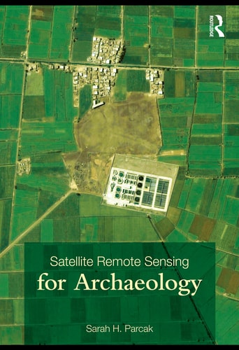
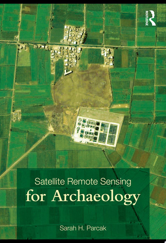
Satellite remote sensing for archaeology
0
0
As an Amazon Associate and affiliate partner, Menrva Books earns from qualifying purchases. Learn more
Author Description
Introduction -- A History Of Satellite Remote Sensing For Archaeology -- Satellite Image Types -- Processing Techniques And Imagery Analysis -- Landscape Approaches And Project Design -- Case Studies -- Remote Sensing And Survey -- Conservation, Heritage Management, And The Ethics Of Remote Sensing For Archaeology -- Conclusion. Sarah H. Parcak. Includes Bibliographical References (p. 243-274) And Index.
Menrva's Summary
THE THESIS
This book investigates the application of satellite remote sensing technologies as a primary methodology for identifying, mapping, and preserving archaeological sites on a global scale. Sarah H. Parcak, a pioneer in the field of space archaeology, synthesizes technical data with practical field experience to establish a framework for integrating orbital imagery into traditional archaeological research. The text argues that remote sensing provides a non-invasive, cost-effective means to survey vast landscapes, thereby transforming how researchers approach site discovery and heritage management.
THE SCOPE MAP
What You Will Find
- A comprehensive history of satellite technology applications within archaeological research.
- Technical explanations of various satellite image types and processing methodologies.
- Practical guidance on landscape-scale project design and survey implementation.
- Ethical considerations regarding heritage management and the protection of archaeological sites.
THE AUTHORITY PERSPECTIVE
Experts recognize this work as a foundational text for students and professionals seeking to integrate geospatial technology into their research. Readers frequently note the clarity with which the author explains complex technical processing techniques for a non-specialist audience.
Page Count:
312
Publication Date:
2009-01-01
Publisher:
Routledge
ISBN-10:
020388146X
ISBN-13:
9780203881460
History
Science
Anthropology
Remote sensing
Archaeology
Technology
Historic Sites
Archaeologists
Antiquities
Community Tags
Other Editions(4)

Similar Books