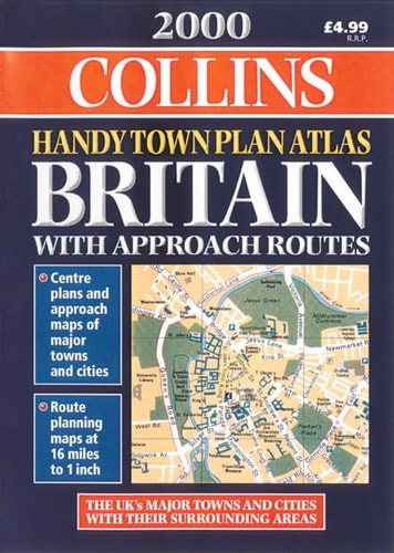
2000 Handy Town Plan Atlas Britain
0
0
As an Amazon Associate and affiliate partner, Menrva Books earns from qualifying purchases. Learn more
Author Description
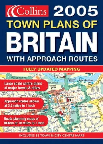
This atlas contains 53 town plans with index to place names. Mapping of approach roads is at 3.2 miles to 1 inch and 5 miles to 1 inch for Northern Scotland. Route planning maps of Britain are at 16 miles to 1 inch There is a 6 page London section showing urban area maps plus city centre complete with street index.
Menrva's Summary
THE THESIS
This atlas serves as a navigational reference tool designed to provide clear, accessible mapping for motorists and travelers navigating the British road network at the turn of the millennium. The publication, produced by HarperCollins, utilizes standardized cartographic scales to assist users in both long-distance route planning and localized urban navigation. By consolidating regional road data with specific town-level street plans, the volume functions as a comprehensive spatial guide for domestic travel.
THE SCOPE MAP
What You Will Find
- 53 detailed town plans with corresponding street indexes
- Regional road mapping at a scale of 3.2 miles to 1 inch
- Specialized 5 miles to 1 inch mapping for Northern Scotland
- A dedicated 6-page section for London urban and city center navigation
- Route planning maps for the entirety of Britain at 16 miles to 1 inch
THE AUTHORITY PERSPECTIVE
The technical specifications and cartographic focus suggest a practical, utilitarian resource intended for pre-GPS era navigation. The inclusion of specific scale variations for different regions indicates a design priority centered on clarity and ease of use for the average driver.
Page Count:
129
Publication Date:
2000-01-01
Publisher:
Harpercollins
ISBN-10:
0004489764
ISBN-13:
9780004489766
Travel
Geography
Great Britain
Maps
British Isles
Reference
Atlases & Maps
Atlases
Community Tags
Similar Books