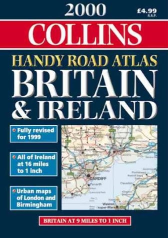
Collins Road Atlas: Britain 1994
0
0
As an Amazon Associate and affiliate partner, Menrva Books earns from qualifying purchases. Learn more
Author Description
No description available.
Menrva's Summary
THE THESIS
This atlas serves as a comprehensive navigational reference for the British road network as it existed in 1994. The Bartholomew firm, a long-standing authority in cartography, utilizes detailed topographical data and road classification systems to provide a static snapshot of the United Kingdom's infrastructure. The work functions as a primary tool for route planning and spatial orientation during a period of significant pre-digital travel navigation.
THE SCOPE MAP
What You Will Find
- Detailed road network mapping covering England, Scotland, and Wales.
- Classification of motorways, primary routes, and secondary roads.
- Indexing of towns, cities, and major landmarks for rapid location identification.
- Cartographic representations of regional topography and administrative boundaries.
THE AUTHORITY PERSPECTIVE
This volume represents a standard cartographic reference tool typical of the mid-1990s, prioritizing physical clarity and regional coverage. The work is regarded as a functional historical artifact that documents the state of British infrastructure prior to the widespread adoption of satellite navigation systems.
Page Count:
144
Publication Date:
1993-10-04
Publisher:
HarperCollins Publishers
ISBN-10:
0004480619
ISBN-13:
9780004480619
Travel
Geography
Great Britain
British Isles
Reference
United Kingdom
Atlases & Maps
Maps
Community Tags
Similar Books