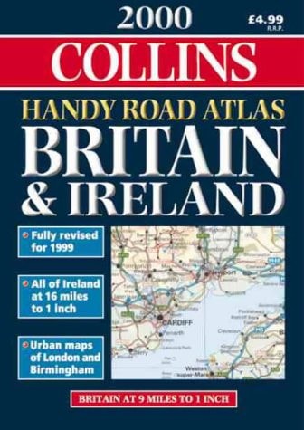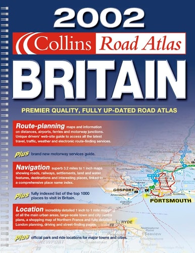
Collins Handy Road Atlas: Britain
0
0
As an Amazon Associate and affiliate partner, Menrva Books earns from qualifying purchases. Learn more
Author Description
This pocket-sized atlas has been updated, and presents all the features of a quality route planning map. The road maps are nine miles to one inch. The congested urban areas are covered by larger scale maps at five miles to one inch. It helps for both route planning and using on a journey.
Menrva's Summary
THE THESIS
This atlas provides a portable, high-utility navigation tool designed to facilitate efficient route planning and real-time travel across the British road network. The author, Bartholomew, leverages cartographic expertise to distill complex national infrastructure into a compact, accessible format. By balancing broad regional coverage with detailed urban inserts, the work serves as a practical resource for motorists navigating diverse traffic environments.
THE SCOPE MAP
What You Will Find
- Detailed road maps at a scale of nine miles to one inch for national coverage.
- Specialized large-scale maps at five miles to one inch for congested urban centers.
- Integrated route planning features for long-distance navigation.
- A pocket-sized physical format optimized for in-vehicle use.
THE AUTHORITY PERSPECTIVE
This atlas is characterized by its focus on functional utility and portability for the mid-1990s motorist. The technical design suggests a reliable, specialist tool intended for practical navigation rather than academic study.
Page Count:
80
Publication Date:
1994-01-01
Publisher:
Bartholomew
ISBN-10:
000448066X
ISBN-13:
9780004480664
Travel
Transportation
Geography
Great Britain
Maps
British Isles
Reference
Atlases & Maps
Community Tags
Similar Books