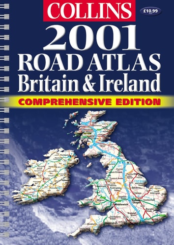
Collins Road Atlas: Britain & Ireland
0
0
As an Amazon Associate and affiliate partner, Menrva Books earns from qualifying purchases. Learn more
Author Description
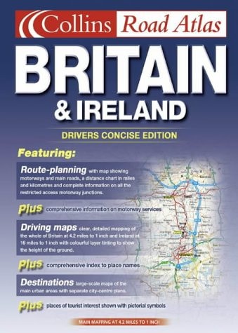
A handy A4 spiral road atlas at the popular 3.2 miles to 1 inch scale, an extremely useful format for the car, home or office. The mapping is brand new and for the first time, features attractive layer colouring to show land height. Includes: complete route planning section; main mapping at 3.2 miles to 1 inch; urban maps and town centre plans; full index to place names; places of interest fully listed.
Menrva's Summary
THE THESIS
This atlas provides a comprehensive and scalable cartographic reference for navigating the road networks of Britain and Ireland. The Bartholomew firm utilizes updated mapping data to assist drivers and planners in route navigation, incorporating topographical details to enhance spatial awareness. The volume serves as a practical tool for both mobile use in vehicles and stationary reference in professional or domestic settings.
THE SCOPE MAP
What You Will Find
- Detailed road mapping at a scale of 3.2 miles to 1 inch
- Integrated layer coloring to represent regional land elevation
- Comprehensive route planning section for long-distance travel
- Urban maps and specific town center navigation plans
- Exhaustive index of place names and listed points of interest
THE AUTHORITY PERSPECTIVE
The technical presentation of this atlas suggests a focus on utility and clarity for the traditional navigator who prefers physical media over digital alternatives. Its structured layout and consistent scale indicate a reliable resource for regional travel planning and geographic reference.
Page Count:
284
Publication Date:
2021-01-01
Publisher:
HarperCollins Publishers
ISBN-10:
0004489608
ISBN-13:
9780004489605
Travel
Maps
Ireland
British Isles
Great Britain
Geography
Atlases
Reference
Community Tags
Similar Books