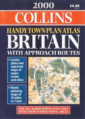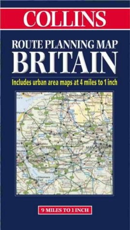
Britain, Route Planning
0
0
As an Amazon Associate and affiliate partner, Menrva Books earns from qualifying purchases. Learn more
Author Description
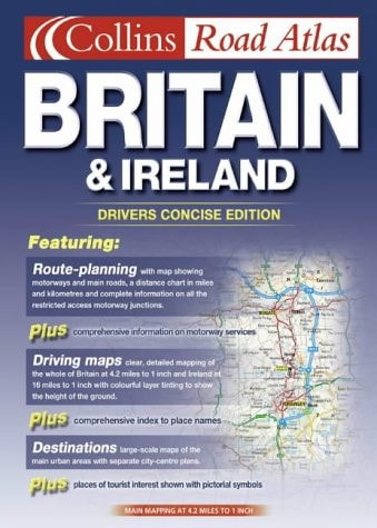
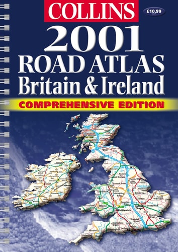
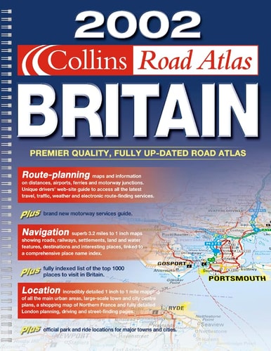
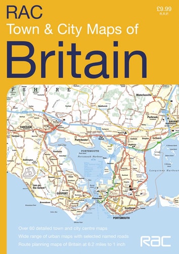
These interesting and attractive maps of the British Isles not only guide you through specific destinations, they inform you about the local heritage of these culturally rich areas. Whether you're looking for a map of Scottish Castles, the origins of Irish family names or a detailed road map of England, these full-color maps and atlases are perfect for exploring Great Britain and Ireland's fascinating past and present.
Menrva's Summary
THE THESIS
This collection of cartographic resources investigates the intersection of navigational utility and cultural heritage across the British Isles and Ireland. The authors, Bartholomew and HarperCollins, utilize detailed cartography to provide both functional road planning and historical context for travelers. The work functions as a comprehensive reference tool designed to bridge the gap between modern transit requirements and the deep-seated historical significance of the region's landmarks and lineages.
THE SCOPE MAP
What You Will Find
- Detailed road networks and route planning infrastructure for England, Scotland, Wales, and Ireland.
- Historical and cultural annotations regarding regional heritage sites and landmarks.
- Specialized thematic mapping, including the distribution of Scottish castles and the origins of Irish family names.
- Full-color cartographic representations designed for both practical navigation and educational reference.
THE AUTHORITY PERSPECTIVE
The material suggests a highly practical, reference-oriented approach suitable for travelers seeking both logistical guidance and historical enrichment. Its focus on combining standard road mapping with cultural trivia positions it as a versatile resource for those exploring the British Isles.
Page Count:
0
Publication Date:
1997-03-01
Publisher:
William Collins & Sons Ltd
ISBN-10:
000448990X
ISBN-13:
9780004489902
Travel
Reference
British Isles
Atlases
Maps
Geography
Community Tags
Similar Books