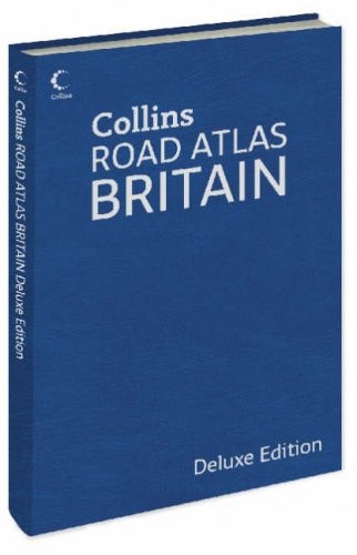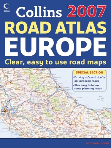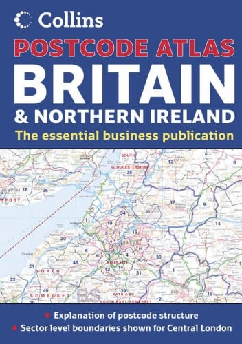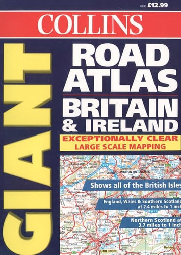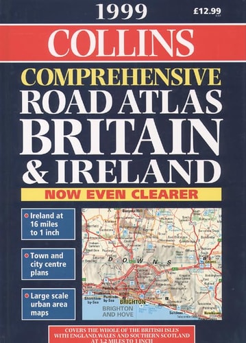
Collins Comprehensive Road Atlas Britain and Ireland
0
0
As an Amazon Associate and affiliate partner, Menrva Books earns from qualifying purchases. Learn more
Author Description
This road atlas of Britain and Ireland contains, along with urban area maps with inset town centre plans, a calendar of events for 1999 and a guide to Millennium sites and activities in the run-up to the year 2000. The atlas contains differing scales, these England and Southern Scotland - 3.2 miles to 1 inch; Northern Scotland - 5 miles to 1 inch; and Ireland - 16 miles to 1 inch.
Menrva's Summary
THE THESIS
This atlas serves as a comprehensive navigational and planning resource for travelers traversing the road networks of Britain and Ireland at the turn of the millennium. The publication, produced by the cartographic firm Bartholomew, integrates detailed road mapping with specialized regional information to assist drivers in route planning and site discovery. It functions as both a functional navigation tool and a cultural guide for the specific historical context of the late 1990s.
THE SCOPE MAP
What You Will Find
- Detailed road maps of Britain and Ireland with varying scales for different regions.
- Inset town center plans for major urban areas.
- A curated calendar of events for the year 1999.
- A guide to Millennium-themed sites and activities planned for the year 2000.
THE AUTHORITY PERSPECTIVE
The subject matter points to a practical, period-specific reference tool designed for motorists requiring physical navigational aids before the widespread adoption of digital GPS. Its utility is defined by its cartographic precision and its inclusion of time-sensitive cultural data relevant to the late 20th century.
Page Count:
256
Publication Date:
1998-01-01
Publisher:
Harpercollins
ISBN-10:
0004487974
ISBN-13:
9780004487977
Travel
Reference
Maps
Geography
Europe
Ireland
Atlases
Community Tags
Similar Books