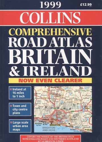
Collins Superscale Road Atlas Britain and Ireland
0
0
As an Amazon Associate and affiliate partner, Menrva Books earns from qualifying purchases. Learn more
Author Description
Mapping Copyright Bartholomew Ltd.--t.p. Verso. Cover Title. Includes Distance Chart And Indexes.
Menrva's Summary
THE THESIS
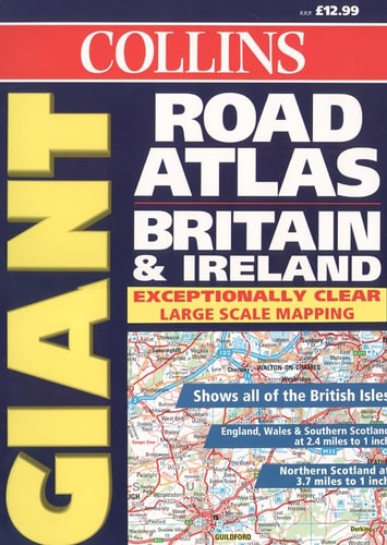
This atlas provides a comprehensive cartographic reference for navigating the road networks of Great Britain and Ireland. The publication serves as a practical tool for travelers, logistics planners, and researchers requiring detailed spatial data. It utilizes standardized mapping conventions to represent infrastructure, distance metrics, and regional connectivity across the British Isles.
THE SCOPE MAP
What You Will Find
- Detailed road network mapping for Great Britain and Ireland
- Integrated distance charts for route planning
- Comprehensive alphabetical indexes for location lookup
- Cartographic data produced by the established Bartholomew firm
THE AUTHORITY PERSPECTIVE
The work functions as a standard reference tool, providing a static snapshot of regional infrastructure suitable for traditional navigation. Its utility is defined by the clarity of its cartographic presentation and the accessibility of its indexing systems.
Page Count:
204
Publication Date:
1998-01-01
Publisher:
Collins
ISBN-10:
0004488032
ISBN-13:
9780004488035
Travel
Atlases
Maps
Reference
Europe
Geography
Ireland
Community Tags
Similar Books