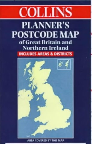
Collins Planner's Postcode Area Map of Great Britain and Northern Ireland: Scale 1:850 000
0
0
As an Amazon Associate and affiliate partner, Menrva Books earns from qualifying purchases. Learn more
Author Description
No description available.
Menrva's Summary
THE THESIS
This map serves as a definitive visual reference for the administrative and logistical organization of postal delivery zones across the United Kingdom. The publication provides a comprehensive cartographic representation of postcode areas, enabling users to identify regional boundaries and spatial relationships between major population centers. By utilizing a standardized scale, the document assists logistics planners, researchers, and commercial entities in navigating the complex geography of the British postal system.
THE SCOPE MAP
What You Will Find
- Detailed cartographic representation of Great Britain and Northern Ireland at a 1:850,000 scale
- Clearly defined boundaries for all major postcode areas
- Geographic indexing of urban centers and regional hubs
- Visual reference for logistical planning and regional distribution analysis
THE AUTHORITY PERSPECTIVE
The document functions as a standard technical reference for cartographic and logistical applications within the United Kingdom. Its utility is defined by the precision of its spatial data and the clarity of its administrative demarcations.
Page Count:
1
Publication Date:
1999-01-01
Publisher:
Collins Publishers
ISBN-10:
0004490096
ISBN-13:
9780004490090
British Isles
Maps
Cartography
Great Britain
Geography
Reference
Community Tags
Similar Books