London M25 Map
0
0
As an Amazon Associate and affiliate partner, Menrva Books earns from qualifying purchases. Learn more
Author Description
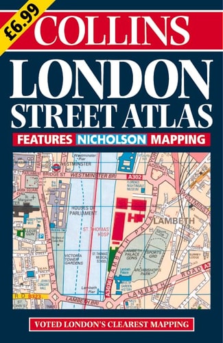
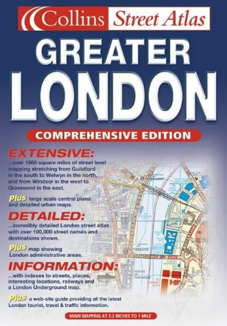
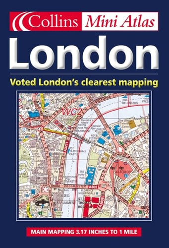
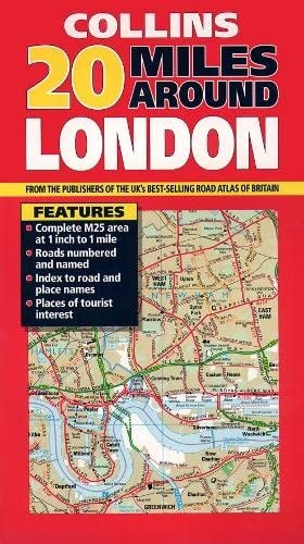
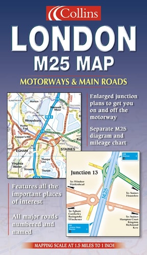
The M25 Has Become The Definitive Classification Of The Main London Area. This Motorists Planning Map Shows All Road Classifications With Major Streets And Roads Named. The M25 Motorway With All Junction Details Is Clearly Shown, As Are Landmark Features Such As Hospitals, Golf Courses, And Pubs.
Menrva's Summary
THE THESIS
This map serves as a definitive navigational tool for motorists attempting to traverse the complex road network surrounding London, centered on the M25 motorway. HarperCollins utilizes cartographic data to provide a clear visual representation of road hierarchies, junction layouts, and essential urban landmarks. The document functions as a practical resource for route planning and spatial orientation within the Greater London area.
THE SCOPE MAP
What You Will Find
- Detailed road classifications including major streets and arterial routes.
- Comprehensive layout of the M25 motorway with specific junction identifiers.
- Geographic markers for public infrastructure such as hospitals.
- Recreational and commercial points of interest including golf courses and pubs.
THE AUTHORITY PERSPECTIVE
The map provides a functional, high-contrast visual aid suitable for drivers requiring clear, static navigation of the London orbital motorway system. Its utility is defined by its focus on road hierarchy and landmark identification, making it a standard reference for regional transit planning.
Page Count:
0
Publication Date:
2002-01-01
Publisher:
Collins
ISBN-10:
0007128606
ISBN-13:
9780007128600
Travel
Transportation
London
Maps
Reference
Community Tags
Similar Books