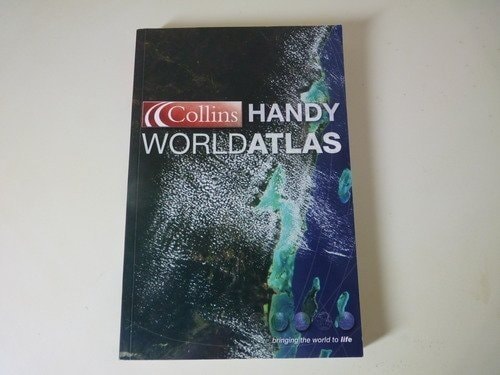
Collins Handy World Atlas
0
0
As an Amazon Associate and affiliate partner, Menrva Books earns from qualifying purchases. Learn more
Author Description
Presents detailed and up-to-date maps in a color-coded, accessible format that incorporates the latest cartographic technology, in a guide complemented by information about the world's states and territories, national flags, and major geographical themes. Original.
Menrva's Summary
THE THESIS
This reference work serves as a comprehensive, portable guide designed to provide accurate cartographic data and geopolitical information for global navigation and study. The volume utilizes contemporary cartographic standards to present a clear, color-coded representation of the world's states and territories. By integrating visual mapping with supplementary data on national flags and geographical themes, the text functions as a practical tool for students, travelers, and general researchers seeking quick access to spatial information.
THE SCOPE MAP
What You Will Find
- Detailed, up-to-date physical and political maps of global regions
- Color-coded indexing for efficient location of countries and territories
- Supplementary data sections detailing national flags and key geographical statistics
- Analysis of major geographical themes and physical features of the earth
THE AUTHORITY PERSPECTIVE
This atlas is regarded as a standard, accessible reference tool suitable for both academic and personal use due to its clear layout and updated cartographic data. The framing suggests a focus on utility and ease of navigation, making it a reliable resource for those requiring a concise overview of global geography.
Page Count:
256
Publication Date:
2004-06-07
Publisher:
Collins
ISBN-10:
0007195230
ISBN-13:
9780007195237
Maps
Geography
Atlases & Maps
Atlases
Reference
Community Tags
Similar Books