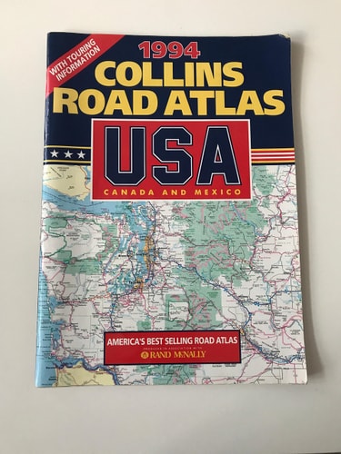
Collins Road Atlas: USA, Canada and Mexico
0
0
As an Amazon Associate and affiliate partner, Menrva Books earns from qualifying purchases. Learn more
Author Description
No description available.
Menrva's Summary
THE THESIS
This atlas provides a comprehensive cartographic reference for navigating the road networks of the United States, Canada, and Mexico as they existed in the mid-1990s. The volume serves as a practical tool for long-distance travel planning, utilizing standardized map projections and scale indicators to assist motorists in route selection and geographic orientation across North American borders. It functions as a static record of infrastructure and regional connectivity during a specific period of continental development.
THE SCOPE MAP
What You Will Find
- Detailed road maps covering the United States, Canada, and Mexico.
- Regional and metropolitan area inset maps for navigation in dense urban centers.
- Distance charts and mileage tables for calculating travel times between major cities.
- Index of place names for efficient location searching.
THE AUTHORITY PERSPECTIVE
This atlas represents a standard reference tool for the era, prioritizing clarity and geographic coverage for the pre-digital navigation market. The material suggests a focus on utility for long-haul travelers requiring a physical, reliable source for cross-border transit planning.
Page Count:
128
Publication Date:
1994-12-01
Publisher:
HarperCollins Publishers
ISBN-10:
0004481496
ISBN-13:
9780004481494
Travel
USA
Canada
Maps
Mexico
Reference
North America
Community Tags
Similar Books