Ireland
0
0
As an Amazon Associate and affiliate partner, Menrva Books earns from qualifying purchases. Learn more
Author Description
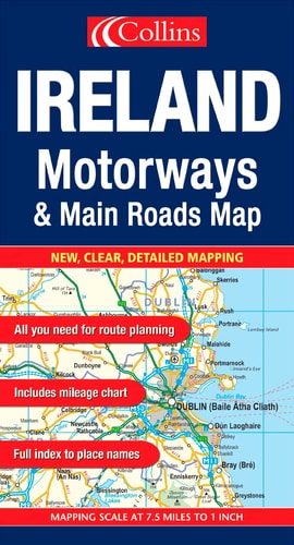
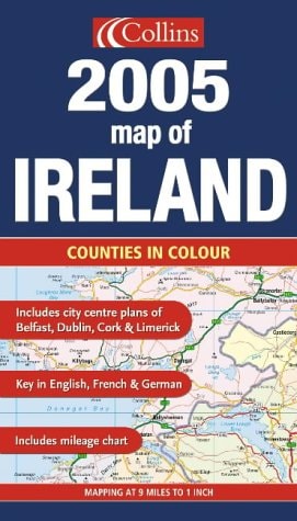
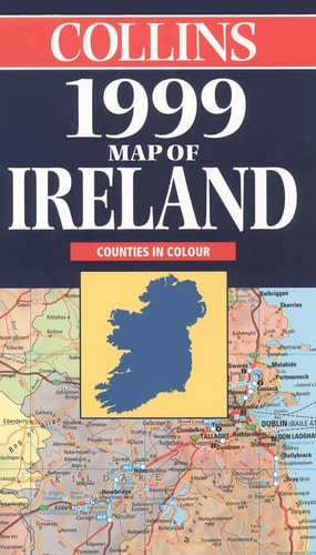
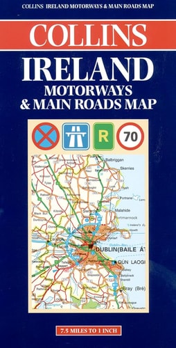
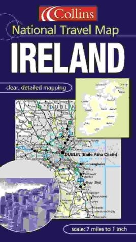
1:440,000 7 miles to 1 inch. Attractive sheet map of Ireland featuring Collins mapping. The cartography is packed with detail, is fully indexed and features layer colours to show land height. MAIN FEATURES * Exceptionally clear Collins mapping with layer colouring * Clear, colourful mapping at 7.2 miles to 1 inch * Centre plans of Dublin, Belfast, Cork and Limerick * Full index to place names * All roads colour classified INCLUDES * Places of tourist information included * Ferry routes & airports shown * Distances shown on roads AREA OF COVERAGE Covers the whole of Ireland WHO THE PRODUCT IS OF INTEREST TO This map is ideal for wall mounting or for use in the vehicle and is suitable for both business or pleasure motoring.
Menrva's Summary
THE THESIS
This map provides a comprehensive, high-detail cartographic representation of Ireland designed to facilitate navigation and geographic orientation for both business and leisure travelers. The publication utilizes Collins mapping standards to offer a clear, layered visual guide to the island's topography, road networks, and urban centers. By integrating detailed indices and specific infrastructure data, the work serves as a practical tool for route planning and regional exploration.
THE SCOPE MAP
What You Will Find
- Detailed cartography at a scale of 7.2 miles to 1 inch with layer coloring for land elevation.
- Inset city center plans for Dublin, Belfast, Cork, and Limerick.
- Comprehensive index of place names and classified road networks.
- Supplemental travel data including ferry routes, airports, and road distances.
THE AUTHORITY PERSPECTIVE
The technical specifications and inclusion of urban center plans indicate a focus on utility for motorists and regional travelers requiring reliable navigation aids. The reliance on established Collins cartographic standards suggests a high level of precision and readability for practical, real-world application.
Page Count:
0
Publication Date:
2003-01-01
Publisher:
HarperCollins
ISBN-10:
0007151950
ISBN-13:
9780007151950
Travel
Ireland
Reference
Maps
Cartography
Community Tags
Similar Books