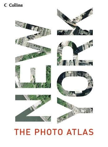
New York: The Photographic Atlas
0
0
As an Amazon Associate and affiliate partner, Menrva Books earns from qualifying purchases. Learn more
Author Description
The largest-scale, most revealing view of New York ever published, covering all five boroughs and beyond.NEW THE PHOTOGRAPHIC ATLAS combines the vertical aerial photography of Getmapping.com with American Map street mapping – an unbeatable combination of photography and cartography. If you know New York well, you will already possess a personal stake in this book – within its pages you will be able to find familiar landmarks, trace a route around Central Park, visit some of your favourite shops, locate the homes of friends and family. On closer inspection you will spot patterns that are invisible from the ground, discover surprising links between unconnected areas, find large areas of greenery that you never knew existed, and explore new neighbourhoods for the first time. Even if you don’t know New York well, you will find this book utterly fascinating. The photographic atlas is easy to use. The photography and the cartography share the same standard grid system, meaning you can cross-reference quickly between the two elements. And the scope of the book means that no part of New York and its five boroughs – and slightly beyond – is left unexplored. Manhattan, Brooklyn, Queens, Staten Island and the Bronx are of course included, but the atlas goes beyond to cover a substantial strip of the New Jersey coastline, and from Yonkers in the north to Long Beach in the south. Once they have it in the hand, the many lovers of New York all over the world will be incapable of putting this extraordinary and compelling book down.
Menrva's Summary
THE THESIS
This atlas investigates the urban landscape of New York City by synthesizing high-resolution vertical aerial photography with traditional street-level cartography to provide a comprehensive visual record of the five boroughs. The authors, Getmapping, utilize their proprietary aerial imaging technology alongside American Map data to create a dual-layered reference tool. The work argues that the integration of these two distinct perspectives allows for a more profound understanding of urban patterns, infrastructure, and neighborhood connectivity than either medium could provide in isolation.
THE SCOPE MAP
What You Will Find
- High-resolution vertical aerial photography covering all five boroughs of New York City.
- Integrated street-level cartography using a unified grid system for rapid cross-referencing.
- Geographic coverage extending from Yonkers in the north to Long Beach in the south, including the New Jersey coastline.
- A visual methodology designed to reveal urban patterns, green spaces, and neighborhood links invisible from ground level.
THE AUTHORITY PERSPECTIVE
The work functions as a technical reference tool, prioritizing spatial clarity and the utility of its dual-mapping system for urban researchers and enthusiasts. Its scope suggests a focus on precision and accessibility, catering to those who require a detailed, bird's-eye understanding of the New York metropolitan area.
Page Count:
400
Publication Date:
2004-01-01
Publisher:
Harper Collins
ISBN-10:
0007177038
ISBN-13:
9780007177035
Photography
Atlases
New York
Cartography
Geography
Reference
Community Tags
Similar Books