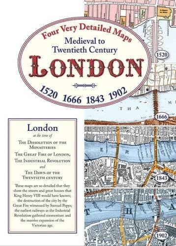
London 1520 - 1902: Medieval to Twentieth Century
0
0
As an Amazon Associate and affiliate partner, Menrva Books earns from qualifying purchases. Learn more
Author Description
Boxed set containing four London maps. These maps are so detailed that they show the streets and great houses that King Henry VIII would have known; the destruction of the city by the Great Fire witnessed by Samuel Pepys; the earliest railways as the Industrial Revolution gathered momentum and the massive expansion of the Victorian age.
Menrva's Summary
THE THESIS
This boxed set presents four detailed historical maps of London, charting its transformation from the Tudor era to the cusp of the 20th century. The collection offers a visual chronicle of the city's evolution, showcasing the streets familiar to Henry VIII, the devastation and rebuilding after the Great Fire of 1666, the advent of railways during the Industrial Revolution, and the vast urban expansion of the Victorian age. Each map serves as a window into a distinct period, providing granular detail of the city's physical and social landscape.
THE SCOPE MAP
- Map of London circa 1520, reflecting the city during the reign of Henry VIII.
- Map of London circa 1666, depicting the city before and after the Great Fire.
- Map of London circa 1843, illustrating the impact of the Industrial Revolution and early railways.
- Map of London circa 1902, showcasing the city's expansion during the Victorian era.
- Detailed street-level views for each historical period.
- Depiction of significant architectural and infrastructural changes over four centuries.
THE AUTHORITY PERSPECTIVE
The collection is presented as a detailed historical resource for understanding London's urban development. The maps are noted for their granularity, allowing viewers to trace the city's physical changes across significant historical events and technological advancements. The set's value lies in its comprehensive visual documentation of London's transformation from the medieval period through to the modern age. It offers a unique perspective for historians, geographers, and enthusiasts of urban history.
Page Count:
4
Publication Date:
2009-02-01
Publisher:
Old House Books
ISBN-10:
1873590792
ISBN-13:
9781873590799
History
Non-Fiction
Cartography
Maps
London History
Community Tags
Similar Books