Mapping the Germans: Statistical Science, Cartography, and the Visualization of the German Nation, 1848-1914
0
0
As an Amazon Associate and affiliate partner, Menrva Books earns from qualifying purchases. Learn more
Author Description
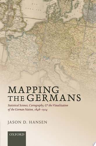
Mapping the Germans explores the development of statistical science and cartography in Germany between the beginning of the nineteenth century and the start of World War One, examining their impact on the German national identity. It asks how spatially-specific knowledge about the nation was constructed, showing the contested and difficult nature of objectifying this frustratingly elastic concept. Ideology and politics were not themselves capable of providing satisfactory answers to questions about the geography and membership of the nation; rather, technology also played a key role in this process, helping to produce the scientific authority needed to make the resulting maps and statistics realistic. In this sense, Mapping the Germans is about how the abstract idea of the nation was transformed into a something that seemed objectively measurable and politically manageable. Jason Hansen also examines the birth of radical nationalism in central Europe, advancing the novel argument that it was changes to the vision of nationality rather than economic anxieties or ideological shifts that radicalized nationalist practice at the close of the nineteenth century. Numbers and maps enabled activists to "see" nationality in local and spatially-specific ways, enabling them to make strategic decisions about where to best direct their resources. In essence, they transformed nationality into something that was actionable, that ordinary people could take real actions to influence.
Menrva's Summary
THE THESIS
This work investigates how the integration of statistical science and cartography transformed the abstract concept of the German nation into an objectively measurable and politically actionable entity between 1848 and 1914. Jason D. Hansen, a scholar of modern European history, utilizes archival data and historical analysis to argue that technological advancements in data visualization provided the scientific authority necessary to define national identity. By examining the intersection of geography, politics, and technology, the author demonstrates how these tools allowed nationalist activists to visualize and manipulate the boundaries of the nation-state.
THE SCOPE MAP
What You Will Find
- Analysis of the development of statistical science and cartography in Germany.
- Examination of the role of spatial knowledge in constructing national identity.
- Exploration of the shift toward radical nationalism at the end of the nineteenth century.
- Case studies on how maps and numbers enabled strategic political resource allocation.
Scope Limits
- The study is geographically confined to the German nation-state and its immediate central European context.
- The analysis focuses primarily on the period between 1848 and 1914, excluding post-World War I developments.
THE AUTHORITY PERSPECTIVE
Scholars in the fields of historical geography and European nationalism frequently cite this text for its rigorous examination of how technical data influences political ideology. Readers often note the academic density of the prose, which is well-suited for researchers and students of nineteenth-century German history.
Page Count:
193
Publication Date:
2015-01-01
Publisher:
Oxford University Press
ISBN-10:
0191782807
ISBN-13:
9780191782800
History
European History
Germany
Europe
Statistics
Nationalism
German history
19th Century
Cartography
Community Tags
Other Editions(3)
Similar Books















Reader Comments
Share Your Thoughts
No comments yet. Be the first to share your thoughts!