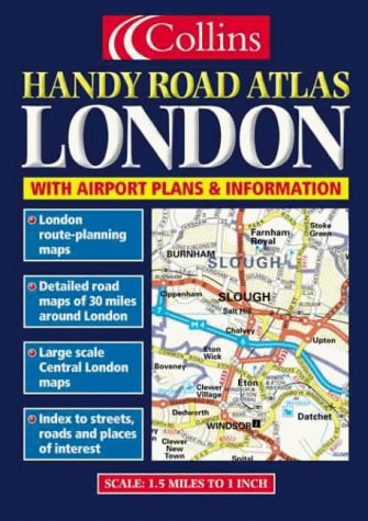
Handy Road Atlas London
0
0
As an Amazon Associate and affiliate partner, Menrva Books earns from qualifying purchases. Learn more
Author Description
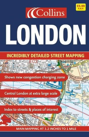
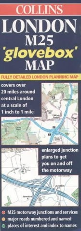
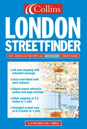
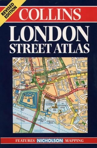
A detailed driving and planning atlas of the London area, particularly useful for locating other travel connections such as airports, mainline stations and the underground. It includes fully detailed road mapping, a large scale central section, airport plans and information and railway and underground maps.
Menrva's Summary
THE THESIS
This atlas serves as a comprehensive navigational tool designed to facilitate efficient travel and route planning within the Greater London area. The publication provides a structured cartographic framework intended for drivers and commuters who require precise spatial data regarding road networks, transit hubs, and major infrastructure. By integrating detailed street-level mapping with broader regional connectivity data, the work functions as a practical resource for navigating complex urban environments.
THE SCOPE MAP
What You Will Find
- Detailed road mapping covering the Greater London area
- Large-scale cartography for the central London district
- Integrated transit information including railway and underground network maps
- Specialized airport plans and logistical travel connections
THE AUTHORITY PERSPECTIVE
The subject matter points to a functional, utilitarian reference text intended for practical application by commuters and visitors navigating the capital. Its focus on multi-modal transit integration suggests a high level of density and utility for those requiring reliable spatial orientation in a complex metropolitan landscape.
Page Count:
96
Publication Date:
2000-01-01
Publisher:
Collins
ISBN-10:
0004490185
ISBN-13:
9780004490182
Travel
Reference
London
Maps
Transportation
London Greater London
Community Tags
Similar Books