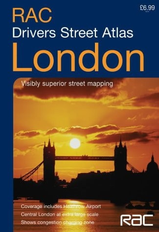
RAC London Drivers Atlas
0
0
As an Amazon Associate and affiliate partner, Menrva Books earns from qualifying purchases. Learn more
Author Description
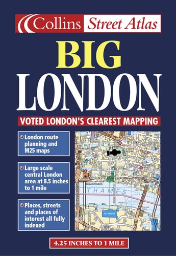
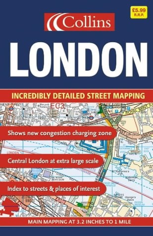
main mapping at 1:15,000 (4.25 inches to 1 mile), Central London at 1:7500 (8.5 inches to 1 mile). This new atlas from the RAC is ideal for the driver in central London. The large scale and high level of detail make it an essential purchase.MAIN FEATURESA brand new RAC atlas aimed specifically at London drivers features an extensive area of coverage and is ideal for navigating and route planning around the capital. To aid map reading, the busy central London area is shown at an extra large scale.INCLUDES London and M25 route planning maps Index to places of interest Full index to street names CIear colour-coded roads and buildingsAREA OF COVERAGEExtends from Heathrow in the west to Barking in the east, and from Edmonton in the north to Beckenham in the south.WHO THE PRODUCT IS OF INTEREST TOEspecially useful for businesses and drivers.
Menrva's Summary
THE THESIS
This atlas addresses the logistical challenge of navigating the complex road network of London by providing high-resolution cartographic data for drivers. The RAC provides a specialized mapping resource that balances broad regional coverage with granular detail for the dense central urban core. By utilizing varying scales, the work serves as a practical tool for route planning and real-time navigation within the capital's metropolitan area.
THE SCOPE MAP
What You Will Find
- Detailed street-level mapping at 1:15,000 scale for the greater London area.
- Specialized 1:7500 scale maps for Central London to assist with high-density navigation.
- Comprehensive index of street names and significant points of interest.
- Regional route planning maps covering the M25 and surrounding suburbs.
THE AUTHORITY PERSPECTIVE
The technical specifications and focus on scale suggest a highly functional, utilitarian tool designed for professional and personal navigation within a complex urban environment. The inclusion of specific scale ratios and broad geographic coverage indicates a resource intended for practical, daily application by drivers requiring precise spatial information.
Page Count:
104
Publication Date:
2004-01-01
Publisher:
Harpercollins Pub Ltd
ISBN-10:
0007181922
ISBN-13:
9780007181926
Travel
Maps
Reference
Transportation
London
London Greater London
Community Tags
Similar Books