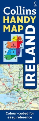
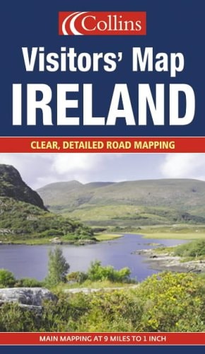
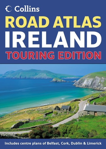
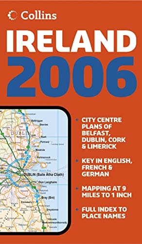
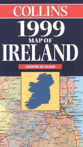
Ireland Handy Map
0
0
As an Amazon Associate and affiliate partner, Menrva Books earns from qualifying purchases. Learn more
Author Description
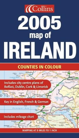
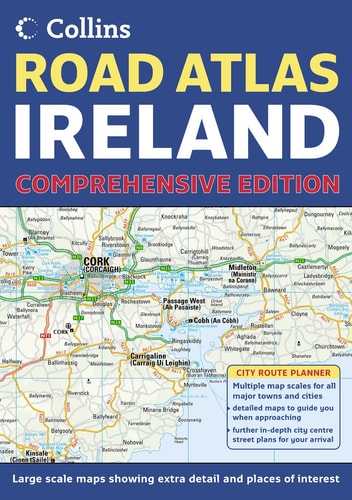
This route-planning map aims to be easy to use, and has lamination on both sides making it hard wearing. It has been updated for 2003. The map features clear colour mapping and city centre plans of Belfast and Dublin. Features include: a distance chart; colour classification of roads; and areas of tourist interest, plus Tourist Information Centres and offices. It covers the whole of the Republic of Ireland plus Northern Ireland.
Menrva's Summary
THE THESIS
This map serves as a practical navigation and route-planning tool designed to provide clear, durable spatial information for travelers navigating the Republic of Ireland and Northern Ireland. The publication addresses the need for a portable, weather-resistant reference that integrates regional road networks with specific urban details. By utilizing color-coded cartography and supplementary data tables, it provides a structured framework for both long-distance transit and local city exploration.
THE SCOPE MAP
What You Will Find
- Comprehensive road network coverage for the Republic of Ireland and Northern Ireland.
- Detailed city center plans for Belfast and Dublin.
- A distance chart for efficient route calculation.
- Integrated markers for tourist information centers and points of interest.
THE AUTHORITY PERSPECTIVE
This map is characterized by its focus on physical durability and functional utility for the casual traveler. The inclusion of specific urban inserts and distance metrics suggests a design intended for immediate, on-the-road reference rather than academic study.
Page Count:
0
Publication Date:
2003-02-03
Publisher:
Collins
ISBN-10:
0007151470
ISBN-13:
9780007151479
Travel
Reference
Maps
Ireland